


Getting to Ouray, Co
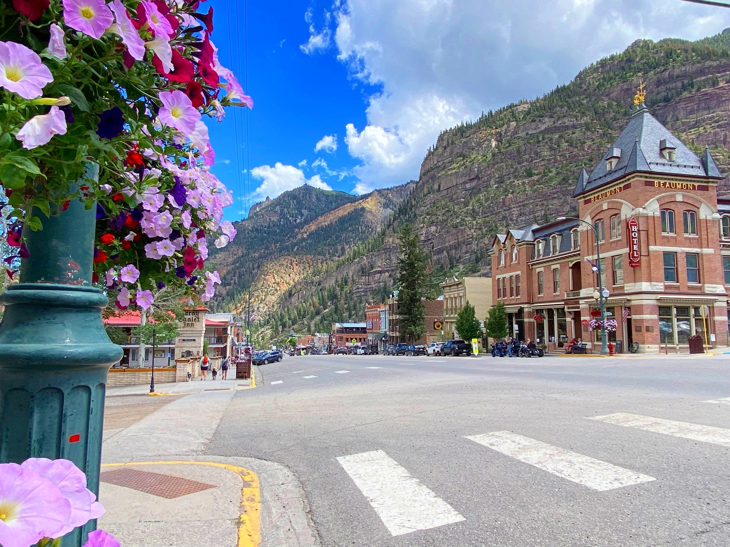
Ouray is located in the mountains of Southwestern Colorado on US Hwy 550, 70 miles north of Durango, 36 miles south of Montrose, and 98 miles south of Grand Junction. The portion of Hwy 550 between Silverton and Ouray is referred to as the Million Dollar Highway.
We have many ways to get here. Driving? Not a problem! Taking a flight? We have those options too. If you plan to travel in the winter, check the weather and road conditions.
Rides and Rentals
-

Flowers Subaru Rentals
Experience Colorado with Rental Car Montrose, the only dedicated Subaru rental service on the Western Slope. Enjoy the reliability and adventure of a Subaru, with the confidence that the car you reserve is the car you’ll get—no last-minute switches. We offer a hassle-free return policy, including no fuel up charge if the tank isn’t full; you simply pay the pump price when we fill it for you. Complete your Colorado adventure by renting a Subaru with us!
Use discount code: VOSubaru for 10% off
-

Jeep Ouray
Whether planning a trip to Silverton, Telluride, Yankee Boy Basin, or Engineer Pass or exploring the Western Slope, our Rubicon Xtreme Recons offer unbeatable style and comfort. We believe in making the rental process as simple and streamlined as possible. We offer tire and windshield insurance, an onsite fueling station, and the only car wash in Ouray.
We do pick up/ drop offs at both Telluride and Montrose Airport
-

OurWay Public Transportation
Operating Monday through Saturday, OurWay takes you from Montrose at 8:00 AM sharp, making stops in Ridgway before reaching the scenic town of Ouray at 9:00 AM. The service offers an hourly round-trip with the last van departing Montrose at 8:00 PM, ensuring you have ample time to soak in the day before the evening return trip.
The OurWay route takes about 45 minutes between Montrose and Ouray, with a consistent two-hour interval between departures. Our van shuttle includes 11 seats—9 of which remain when accommodating a wheelchair—along with a two-bike rack for adventurers.
-

Telluride Express
CO West offers shared and private ground transportation services to your favorite mountain towns. We look forward to assisting in your next great adventure!
Services offered: Airport shuttle service (group or private), Wedding/Event transportation, trailhead shuttle, charter services/ wine tours.
-

Tellurides
Additional stops for groceries, lunch, etc (upon request)
We can assist in arranging visits to local attractions and regional tours.
We are locally owned, supporters of the community, who have in depth knowledge of the area to help with trip planning.
Provide a personalized service to help tailor the experience to your needs.
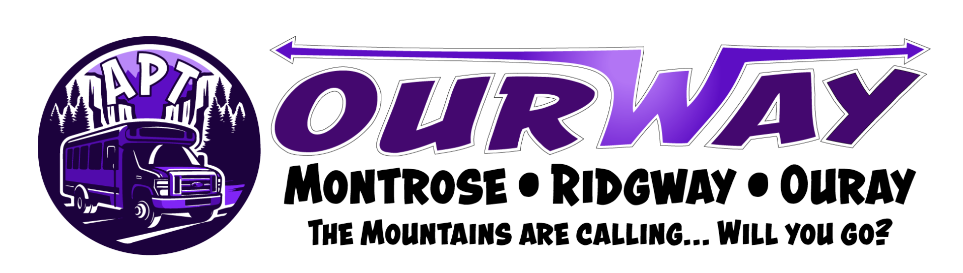
“OurWay” is an innovative public transport option designed for your convenience. This service provides you with a commute that caters to your needs, your schedule, and your destinations.
Operating Monday through Saturday, OurWay takes you from Montrose at 8:00 AM sharp, making stops in Ridgway before reaching the scenic town of Ouray at 9:00 AM. The service offers an hourly round-trip with the last van departing Montrose at 10:00 PM, ensuring you have ample time to soak in the day before the evening return trip.
The OurWay route is meticulously planned to serve you with precision and punctuality. The van takes about 45 minutes from Montrose to Ouray and vice versa, with a consistent two-hour interval between departures. Our fleet ensures a comfortable ride in a cozy setting that includes 11 seats—9 of which remain when accommodating a wheelchair—along with a two-bike rack for the adventurers among us.


Airport Options
Travelers heading to Ouray, Colorado, have several airport options to choose from, each offering convenient access to the area.
Montrose Regional Airport (MTJ) is the closest, located just 40 miles north of Ouray, and provides seasonal direct flights from major hubs like Denver, Dallas, and Chicago.
Durango-La Plata County Airport (DRO), approximately 95 miles south, is another viable option.
Grand Junction Regional Airport (GJT), about 100 miles away, offers a broader range of flight options and year-round service.
Telluride Regional Airport (TEX), though smaller and primarily serving private aircraft, is just 50 miles away and provides a scenic and quick route for charter travelers.
With these options, visitors can easily tailor their travel plans to explore the stunning landscapes of Ouray and the surrounding San Juan Mountains.
Upcoming weather for Ouray, co
Getting to Ouray By car
Whether you are road tripping for yourself, with your family, your best friend, or your furry-friends Ouray, Colorado has some of the most scenic roads no matter which direction you come from.
Coming from the south, there is the Million Dollar Highway (AKA Red Mountain Pass). From the north you get up, close, and personal with the face of the San Juan Mountains.
All our roads are passable by motorcycle, two wheel drive, all wheel drive, campers, trailers, etc. The only thing to be aware of is in the winter time the roads can be slick.

Albuquerque: 285 miles (6 hours)
Colorado Springs: 267 miles (5 hours)
Cortez: 125 miles (3 hours)
Dallas/Ft. Worth: 942 miles (17 hours)
Denver: 342 miles (6 hours)
Durango: 70 miles (2 hours)
Glenwood Springs: 185 miles (3.5 hours)
Grand Junction: 98 miles (2 hours)
Gunnison: 92 miles (2 hours)
Houston: 1181 miles (21 hours)
Mesa Verde: 110 miles (3 hours)
Moab: 166 miles (3.5 hours)
Montrose: 37 miles (45 minutes)
New Orleans: 1550 +/- miles (25 hours)
Pagosa Springs: 140 miles (3 hours)
Phoenix: 570 miles (10 hours)
Salt Lake City: 383 miles (6 hours)
Santa Fe: 312 miles (6 hours)
Silverton: 23 miles (45 minutes)
Telluride: 47 miles (1 hour)
Driving Distances
Use your gears to engine break down the mountain to save your breaks
Know where locations are for gas stops
We do have electric vehicle charging stations (one in the parking lot of the Visitor Center, and one at the Quality Inn)
Increased traffic
Go the speed limit
Watch for pedestrians
Watch for wildlife
Pull over in designated areas
Summer Driving tips/cautions
Use your gears to engine break down the mountain to save your breaks
Know where locations are for gas stops
We do have electric vehicle charging stations (one in the parking lot of the Visitor Center, and one at the Quality Inn)
Avalanche areas
Always have food, water, and blankets in your vehicle for safety measures
Chains for vehicles going over red mountain pass with bad weather unless you have all-wheel drive with snow tires
Wildlife is very active in the winter season
Be careful for black ice
Winter Driving tips/Cautions

One is located in the Ouray Visitor Center and Hot Springs Pool parking lot. North end.
Another is located at the Quality Inn (Tesla), if you are staying on the property it is free of charge.